
Your data and your team in NeuraCities: uploads, connectors, sharing and exports
Public data answers a lot of questions, but real projects always involve something of your own: a client's site list, a utility's asset records, a survey spreadsheet, a folder of PDFs. And the answer is rarely for the person who ran the analysis. It is for a manager, a client, a council member or a colleague who has never opened a GIS.
This article covers both ends: getting your data into NeuraCities, and getting results out to the people who need them.
Uploading your own files
Drag files into the message box or attach them with the paperclip. NeuraCities reads them and makes them available to the agents alongside any public data they find. Supported file types include:
| Kind | Formats | What happens |
|---|---|---|
| Vector GIS | Shapefile (.shp with .dbf, .shx, .prj), GeoJSON, File Geodatabase | Loaded as map layers with their attributes |
| Tables | CSV, XLS, XLSX | Points from coordinate or address columns (addresses are geocoded), or joined to boundaries on a shared key |
| Rasters | GeoTIFF | Displayed and available for raster analysis such as zonal statistics, slope or reclassification |
| Documents | PDF, DOC, DOCX | Read for tables, text and figures; tables can become data |
| Images | PNG, JPG | Read and described, useful for plans, screenshots and photos |
Up to five files can be attached to a single message. Your uploads take priority over public data: if you provide a parcel layer, the agents use it rather than searching for another.
My Database: upload once, use everywhere
Every file you upload is saved to My Database, a persistent store attached to your account. Next week, in a different conversation, you can attach the same layer from My Database without finding the file again. My Database also holds custom basemap styles you create.
On the Pro plan, My Database has a team view: add colleagues to your team, share specific files with them, and see the files others have shared with you. That way the whole team works from the same authoritative layers instead of ten slightly different copies.
Connectors: PostgreSQL, Google Drive and OneDrive
- PostgreSQL: connect a database once and NeuraCities can query it live in every message. Queries are read-only, so the agents can look but never change anything. A table browser shows what is available. Connecting live means the analysis always uses current data, not a snapshot from last month.
- Google Drive and OneDrive: sign in with read-only access and browse your folders to bring files into My Database, where geospatial files become layers you can use in any conversation.
Organizations on the Max plan can ask for custom integrations and data connectors for other systems.
Dashboards: from a conversation to a page
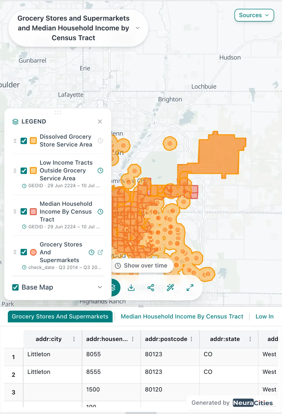
A conversation is a great working record but not always the right thing to send a decision-maker. Any answer that produced maps or charts has a Dashboard button. It turns the conversation into a long-form, editable page: a written narrative with the live maps and charts embedded, and a sources section drawn from the actual data record so every citation is real.
Everything on the page can be edited in place and saves automatically. On Pro, a dashboard can be published with its own share link, so a client or the public can read it without an account.
Exports
| What | Formats |
|---|---|
| Map view | PNG, JPG, SVG, PDF |
| Animated time maps | MP4, GIF |
| Print layouts and decks (export canvas) | PNG, JPG, SVG, PDF, with portrait or landscape pages |
| Map layers | Shapefile (zip), CSV |
| Tables | Excel (.xlsx) |
| Charts | PNG, PDF, CSV |
| Reports |
The export canvas deserves a special mention. It lays out one or more pages with the map, legend, title, text and annotations. On Pro you can save your own page formats (for example, your firm's standard title block) and reuse them. Free exports carry a small watermark; Pro and Max exports do not.
Workflows: run the same analysis again
When an analysis works, you usually want to run it again: next month, for another city, with a different threshold. A workflow is a saved prompt where the parts that change are written as variables:
Map every {{facility_type}} in {{city}} more than {{distance}} from a bus stop, and count them by council district.
Running the workflow turns each {{variable}} into an input field, with a location picker for places. The steps stay the same every time, so results are comparable across runs. Free accounts get one workflow; Pro gets ten and can share them with colleagues by email; Max is unlimited.
Keeping data under control
- Database connectors are read-only: the agents cannot write to your database.
- Drive and OneDrive access uses read-only permissions.
- Files you upload are private to your account unless you share them with your team or share a conversation.
- Organizations with stricter requirements can talk to us about custom deployment and a security review on the Max plan.
Frequently asked questions
Can I upload shapefiles to NeuraCities?
Yes. Upload the .shp together with its .dbf, .shx and .prj files, or use GeoJSON, a File Geodatabase, CSV or Excel with coordinates or addresses, or a GeoTIFF raster.
Can NeuraCities connect to my PostgreSQL database?
Yes. Add a PostgreSQL connector and NeuraCities can run read-only queries against it live in every message, so analysis always uses current data.
How do I share a NeuraCities map with someone who does not have GIS?
Send the conversation's share link or invite them by email. They open the same live maps, charts and answer in a browser. You can also publish a dashboard page or export a PDF layout.
What export formats does NeuraCities support?
Maps and layouts export as PNG, JPG, SVG or PDF; time maps as MP4 or GIF; layers as Shapefile or CSV; tables as Excel; charts as PNG, PDF or CSV; and reports as PDF.
Can my team share data in NeuraCities?
Yes. On the Pro plan, My Database includes a team view where you can add colleagues, share files with them and see files shared with you.
Ask your first question in plain English. No GIS software to install.
Start mapping free
Comments that point at the exact place
Feedback on a map usually arrives as "the third parcel from the left, near the river". NeuraCities comments are pins anchored to a position on the map. They stay attached to that spot as you pan and zoom, in both 2D and 3D, so there is never any doubt which feature someone means.
Comments work on reports too, anchored to the passage being discussed. Each comment is a thread that can be replied to and resolved, and Pro users can attach files to comments.